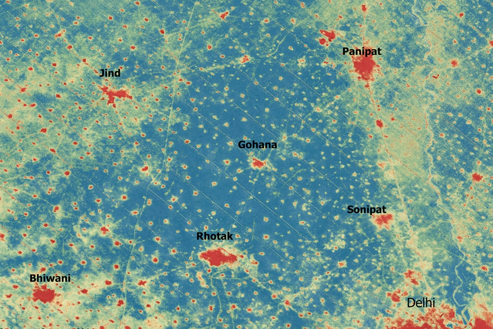
Cities are often described as “heat islands,” with media reports warning that some neighborhoods can be 20°F hotter than others. But those temperatures are often based on satellite data rather than the conditions people actually experience, due to the dearth of near-surface urban observations. This data gap hinders understanding public health risks during heat waves, planning for energy demand, infrastructure resilience and climate adaptation.
A new study aims to change that. The research, led by University of Illinois Urbana-Champaign civil and environmental engineering professor and climate, meteorology & atmospheric sciences affiliate Lei Zhao, Illinois graduate student Yiwen Zhang, and Pierre Gentine at Columbia University, develops the first high-resolution urban air temperature dataset that shows what the heat in cities really feels like to people and infrastructure — not just what satellites see from space.
The study is published in the journal Nature Communications.
It’s easy to assume that cities would be rich sources of environmental data, but in reality, the opposite is true, the study reports. International guidelines from the World Meteorological Organization require that standard weather stations be in open, unobstructed areas, far from buildings and other structures that could affect measurements. As a result, many urban weather stations are located at airports or nearby rural land, which do not represent conditions in dense neighborhoods where most people live and work.