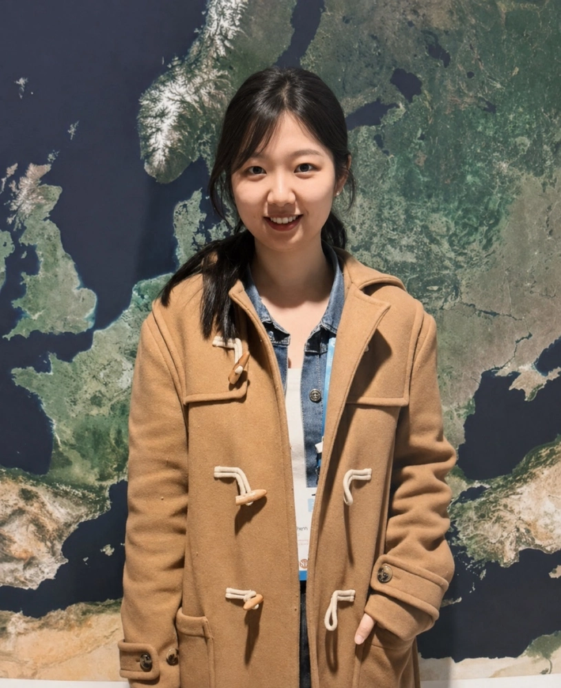
From hundreds of kilometers above Earth’s surface, satellites can detect movements measured in mere millimeters. For geophysicist Lin Shen, those seemingly tiny changes can reveal much bigger stories about earthquakes, volcanoes, and the changing environment.
Shen, the newest faculty member in the Department of Earth Science and Environmental Change, specializes in satellite geodesy and remote sensing. Her academic career has taken her from China to the United Kingdom and the United States, including a PhD in earth sciences from the University of Leeds and, most recently, a position as an associate research scientist at Columbia University’s Lamont-Doherty Earth Observatory.
Her interest in satellite geodesy began during her doctoral studies, when she started using satellite radar to study earthquakes and tectonic deformation. Since then, her research has expanded to include volcanic activity, land subsidence, and other environmental hazards.
“What attracted me most to satellite geodesy, particularly InSAR, was the idea that we can understand processes happening deep within the Earth by measuring very small surface changes from space,” Shen said.