Body
ATMOSPHERIC SCIENCESGEOGRAPHY & GIS
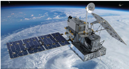
Satellite, ground and aircraft-based remote sensing platforms may be used to investigate a variety of phenomena ranging from precipitation, storm evolution, and atmospheric composition to changes in earth's surface features such as biomes, vegetation, and various indicators of human development such as city infrastructure. Investigators in the Department of Atmospheric Sciences have applied remote sensing techniques to identify warning signs of a rapidly intensifying hurricanes and to improve cloud detection and classification algorithms.